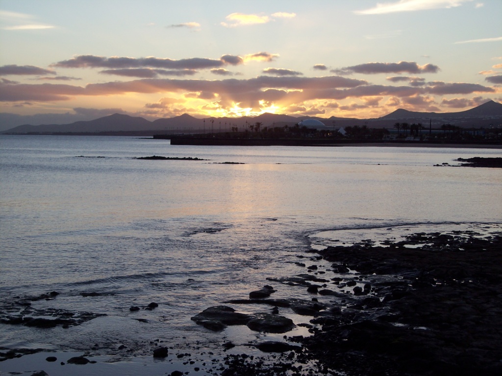
 Over the last couple of days most of our time has been taken up with the science coding training for PISA 2006. However after hours we have explored Arrecife a little, and yesterday we finished early to go to the Timanfaya National Park.
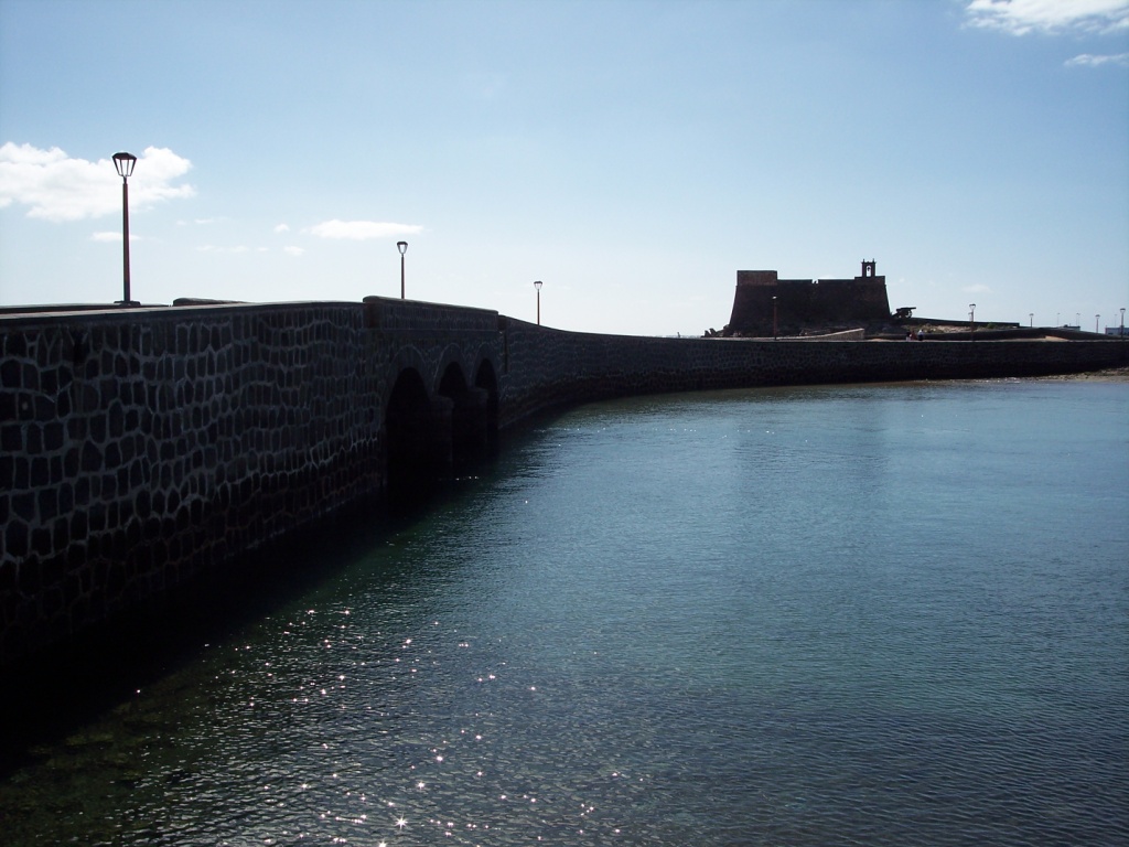
This photo is of Castillo de San Gabriel - located on a small island in front of Arrecife. The fort was connected to the main one by a drawbridge, and it was from these forts that the islanders tried (unsucessfully in the end) to defend
 themselves against pirate attacks.
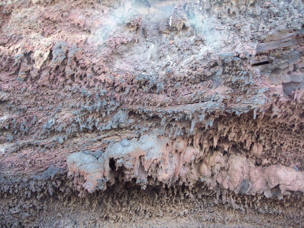
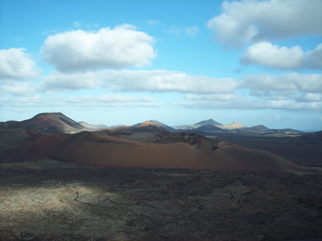
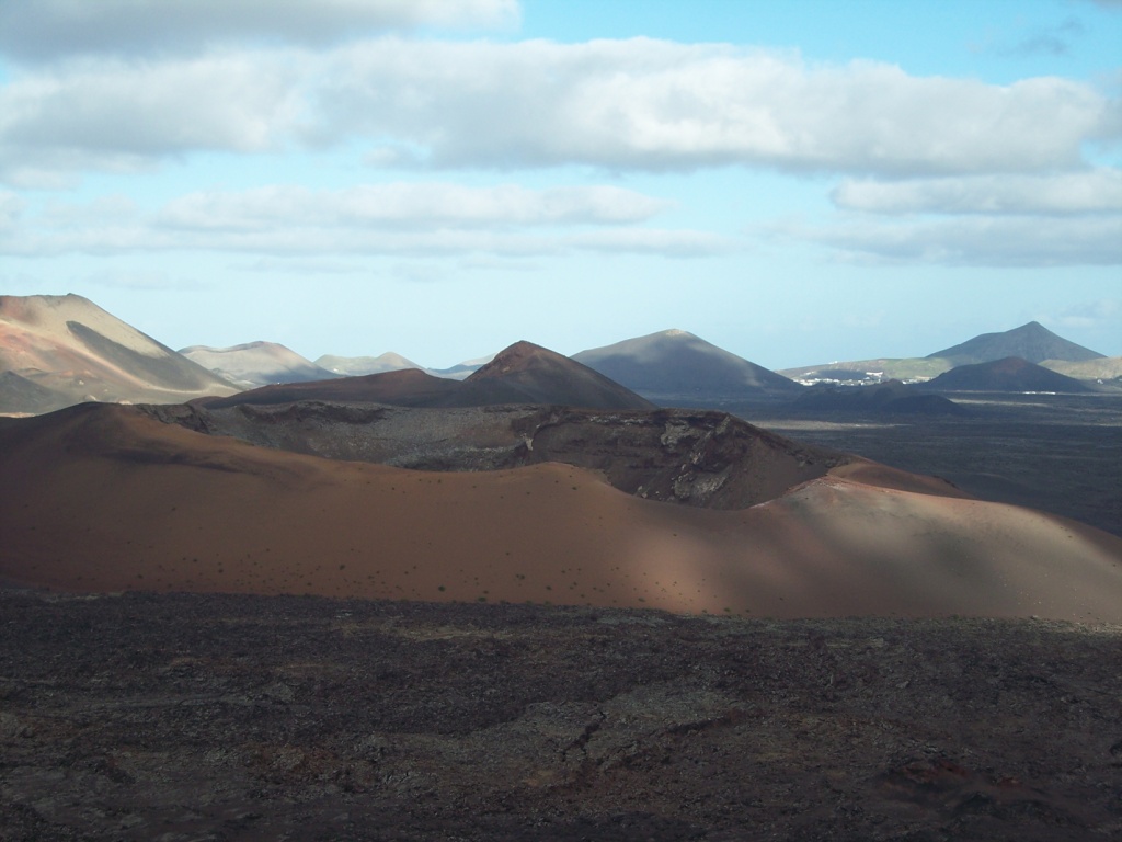
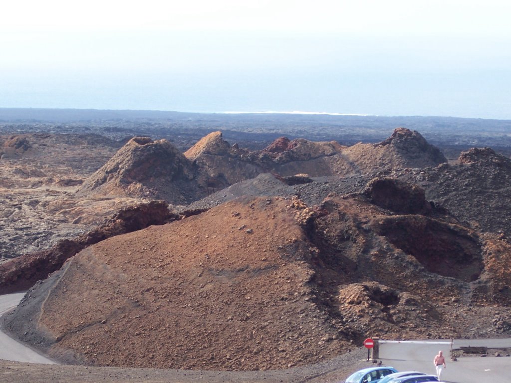
Timanfaya National Park was amazing. The Montañas del Fuego (Fire Mountains) were created between 1730 and 1736 when more than 100 volcanos, covering more than 50 km², rose up and devastated this part of the island (including several villages). The last eruptions were in 1824, however due to the low rainfall (and therefore lack of erosion) this area appears much the same as it did just after the eruptions. In 1968 the area was declared a national park, Parque Nacional de Timanfaya.

No comments:
Post a Comment